In recent years, the development of unmanned aerial vehicles (UAVs) has become a strategic priority for Russia’s aviation industry. A reliable remote identification system is essential for the safe integration of drones into controlled airspace and for effective flight monitoring. At the request of the Federal Air Transport Agency (Rosaviatsiya), the State Corporation for Air Traffic Management conducted remote identification system trials from July 30 to August 6 in eight Russian regions, ranging from Yamal to Leningrad Oblast. The results demonstrated that the technical solutions are ready for widespread deployment within the industry.
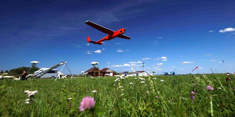
The trials utilized industrial UAVs manufactured by Geoscan, including models 201, 401, 701, 801, and Gemini. Each aircraft was equipped with onboard ADS-B transmitters, specifically the Kolibri and Moskit units. According to Geoscan’s press service, a total of 25 flights of varying complexity were performed.
In Samara Oblast, heavy UAVs with a maximum takeoff weight exceeding 30 kilograms were tested. These aircraft transmitted a comprehensive set of identification data, including a unique identifier (registration number), aircraft category, current altitude, and precise location coordinates.
Data transmission was carried out via two channels. The first channel relayed information from onboard transmitters to the digital Nebosvod platform and the Flight Plan Presentation System (SPPI). The second channel transmitted data through the command and control link to a ground station, which then relayed the information to Nebosvod. Connectivity was ensured using GSM and satellite networks.
Specialists from the State Corporation for Air Traffic Management monitored all UAV movements in real time using air traffic control system displays. The accuracy of data transmission was confirmed across all parameters.
“We have obtained clear evidence that the selected technical solutions operate reliably and are fully prepared for integration into routine operations,” stated Andrey Potyomkin, Deputy Head of Rosaviatsiya.
Geoscan-2 Satellite: Advancing Airspace Monitoring with Small Satellite Technology
According to Potyomkin, this represents a significant step forward for the industry in enhancing airspace safety and fostering the development of unmanned technologies. “We plan to officially present the test results in the near future, setting a new benchmark for quality and reliability,” he added.
Geoscan integrated its ground control station software with the Nebosvod platform in 2023. Vitaly Klintsevich, Chief Technical Officer of the Geoscan Group, emphasized the company’s readiness to share its expertise to advance the industry.
The test results have gained practical relevance in light of new regulatory requirements. Russian Government Decree No. 1701, dated November 30, 2024, establishes mandatory standards for identification systems. Starting March 1, 2026, all unmanned aircraft must transmit real-time identification data.
 (No Ratings Yet)